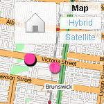
 I don’t know when this happened, but last night when I placed some photos on my flickr map, I was delighted to see that (in certain areas, and at certain magnifications) they have started to use OpenStreetMap for the map layer.
Yahoo were generous enough to allow OSM to use their satellite data as a reference overlay for constructing maps, so I think this is a natural flipside of that. Personally, I think it’s great that I can place photos on a map that I also contribute to. Three cheers for open source!